


Product Details
+
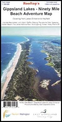
Coverage of the coastline extends from McLoughlins Beach to Lakes Entrance and inland to Heyfield, Boisdale, Newry, Stratford and Bairnsdale. Virtually all waterways and public accessible roads and tracks are shown.
Information includes walking tracks, vehicle tracks, roads, estuaries, watercourses, places of interest, navigation markers, boat ramps, jetties etc.
The terrain was extensively field-checked by GPS in 2007.
![Balmar Alternator 100 AMP Kit 12V 1-2" Single Foot Spindle Mount Dual Vee Pulley Regulator Temp Sensor [621-VUP-MC-100-DV]](https://www.outdoornavig.shop/image/balmar-alternator-100-amp-kit-12v-1-2quot-single-foot-spindle-mount-dual-vee-pulley-regulator-temp-sensor-621-vup-mc-100-dv_cDsXwb_285x.webp "Balmar Alternator 100 AMP Kit 12V 1-2\" Single Foot Spindle Mount Dual Vee Pulley Regulator Temp Sensor [621-VUP-MC-100-DV]")


: Mountains of the Moon")

![RAM Mount 1" Ball Mount w/6.25" X 2" Rectangle Base Diamond Base [RAM-B-111-238U]](https://www.outdoornavig.shop/image/ram-mount-1quot-ball-mount-w625quot-x-2quot-rectangle-base-diamond-base-ram-b-111-238u_XVIRBb_285x.webp "RAM Mount 1\" Ball Mount w/6.25\" X 2\" Rectangle Base Diamond Base [RAM-B-111-238U]")


