


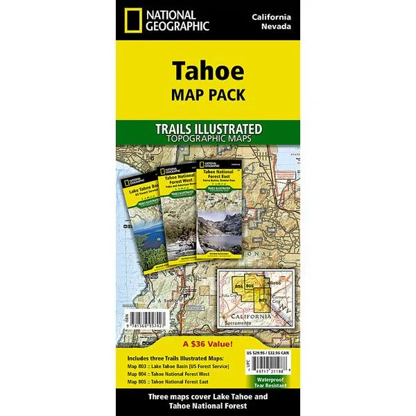
Product Details
+
Lake Tahoe is the sapphire jewel in the crown of the Sierra Nevada mountains. The lake's surface covers almost 200 square miles and forms part of the border between California and Nevada. Just to the north of recreation meca of Lake Tahoe is Tahoe National Forest with nearly 900,000 acres of recreational opportunities. Rivers, snow capped peaks and dense forests offer outstanding recreation year round. In this section of the Sierras a complex set of ecosystems are found as the terrain ascends from 1,500 feet along the western boundary to over 9,000 feet along the crest.
- Tahoe Map Pack includes:
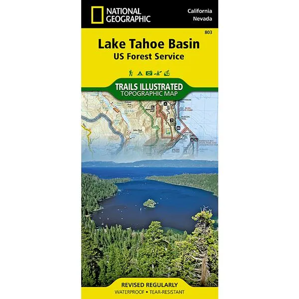
- Map 803 - Lake Tahoe Basin
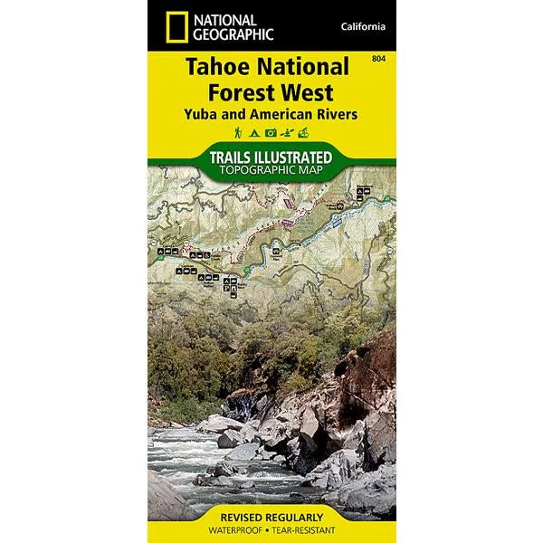
- Map 804 - Tahoe National Forest West
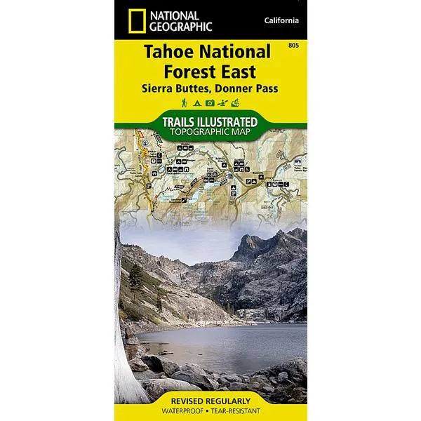
- Map 805 - Tahoe National Forest East
- "Backcountry Tough" waterproof, tear-resistant paper
- UTM grid printed on map to aid with GPS navigation
- Folded Size: 4.25 in x 9.25 in
- Flat Size: 25.5 in x 37.75 in
- Weight: 9 oz (3 oz each)
- Scale: 1:63,360
- Copyright Date: 2017
- ISBN:
- 9781566957427


")


 Walkie-Talkie UHF Transceiver 5W Two-Way Radio with 16 Store Channels, 400-470MHz Frequency Range, 5km Max. Talking Range, Clear Voice Output, 1500mAh Battery Capacity, IP45 Waterproof")


